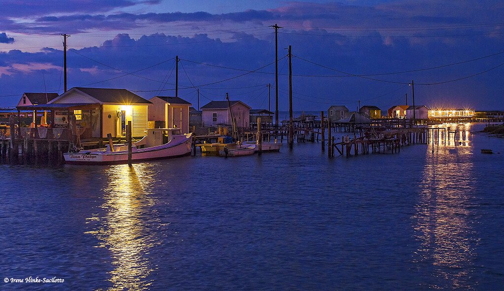
Just south of the Maryland line, in the middle of the Chesapeake Bay, lies Tangier Island, VA. It is actually a series of small islands connected by narrow bridges spanning marshes and tidal creeks. From the mainland, it can only be reached by boat or small plane. On its narrow roads, golf carts and bicycles replace cars as the primary mode of transportation. It is a charming community of shop owners and waterman, with many inhabitants making their living on the water as did their ancestors, oystering and crabbing. Recently, Tangier Island has been the focus of news stories as a possible casualty of climate change and sea level rise as each year flooding on the island becomes more frequent and erosion increases. This presentation is a visual journey, compiled from photos that I have taken over the years. It explores life on Tangier and paints a picture of the island, waterman community, and the wildlife that inhabits its marshes, lagoons, and tidal guts. Includes tips on photographing the waterman community and wildlife. Description
Early April, Mid-July, August, December 21

1.5 hr with Q&A
Early April, Mid-July, August, December 21